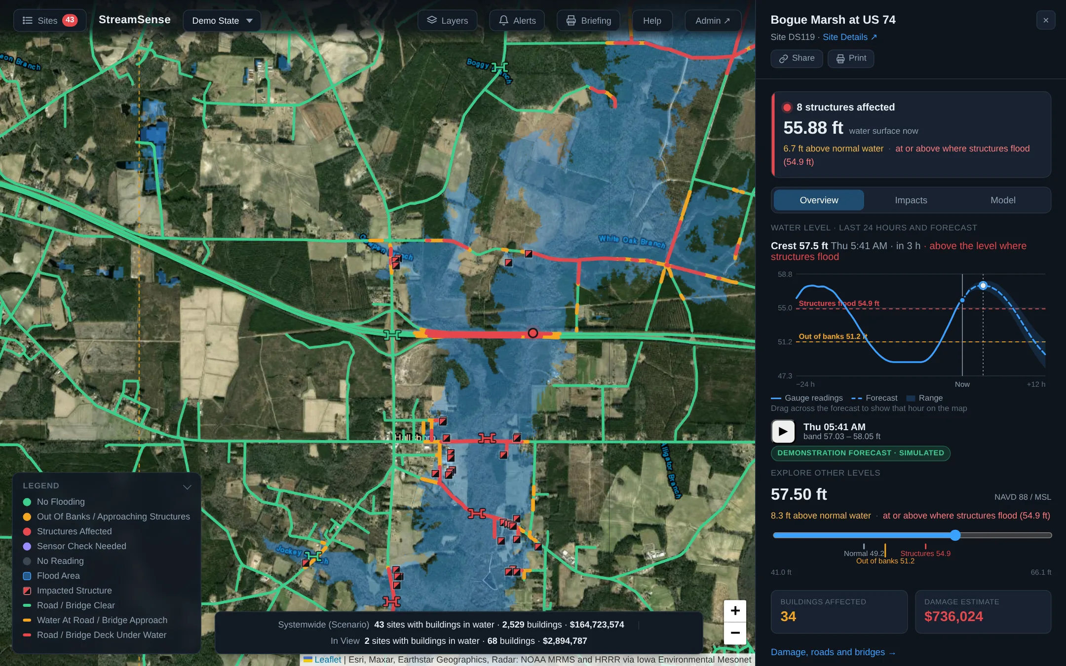
Stream gauges that report by satellite, 24-hour flood forecasts for every site, alerts before the water arrives, and a live map of the roads, bridges and buildings at risk.
Stream gauges, modeling and mapping in one system, run from a browser.
Solar-powered radar stream gauges at bridges and low-water crossings, reporting by satellite.
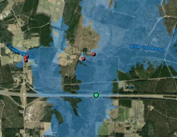
Every site modeled from lidar — or your own surveys and drone-flown terrain — so the map shows where the water goes at any level.
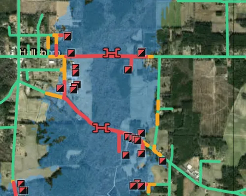
Flooded roads, bridge decks going under and affected structures, with damage estimates and the people in them.
A 24-hour level forecast for every site, with radar overlaid on the map and the whole system played forward hour by hour.
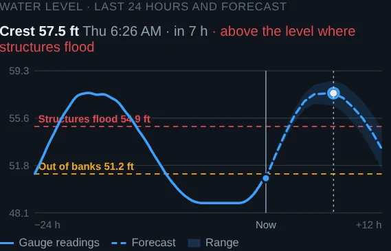
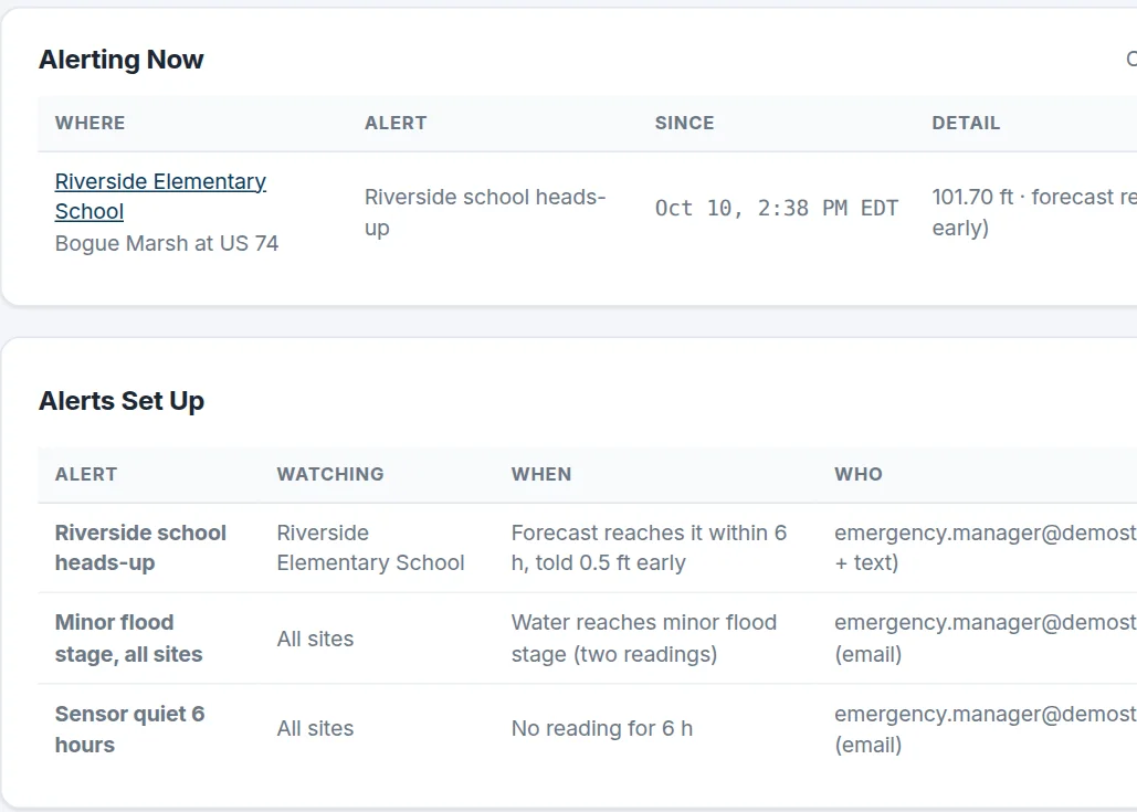
Watch any address, building or crossing. When the forecast has the water reaching it, the right people hear first.
Readings travel by satellite, not cell towers, so data keeps arriving when power and networks fail.
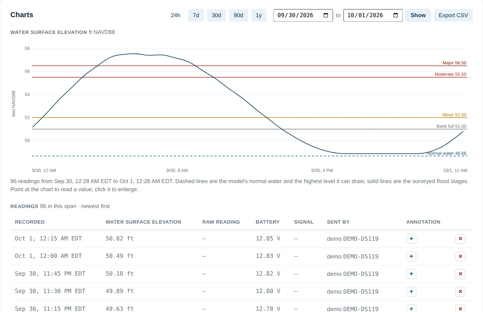
Every reading is checked against the model, and the model learns from each one.
Every model is checked against what the river actually did. The numbers below come from floods at USGS gauges the model had never seen.
How it is scored: for each flood the model is asked for the water level at the flow the gauge recorded, and its crest is compared with the gauge's 15-minute record. Calibration uses only national sources — lidar, land cover, the stream network and USGS rating curves — never a state's flood library, so the same method works in any state. Results are re-run after every model change and published in the engineering notes on each site.
All user traffic encrypted and every sign-in authenticated.
Each agency's sites, data and users are kept separate.
Named accounts, managed by your own administrator.
Runs in the cloud and works in any modern browser.
Battery and device health for every gauge in the field.
Export readings any time; every administrative change is logged.
Track rising water across the jurisdiction and time closures, evacuations and staging.
Know which roads and bridges are going under, and send crews before they do.
Build a long-term record of how each stream behaves in real storms, on top of your own studies and surveys.
Simulated storms, forecasts and flood maps across a full state network.
Tell us about the sites you need to watch. A specialist will reply within one business day.